After several days watching animals, today we had a completely different experience, spending the morning with the Hadzabe tribe. They live in the bush and still live from hunting small animals and gathering fruit and berries. There are about five thousand Hadzabe, but no one knows the exact number since they live totally separate from the main Tanzanian society and have no birth or death records. We arrived in the early morning to meet the chief of the tribe, who was very welcoming and talkative. He insisted we learn a few words of their language, which was very strange, with clicking sounds made by the tongue and strange guttural sounds from the throat.
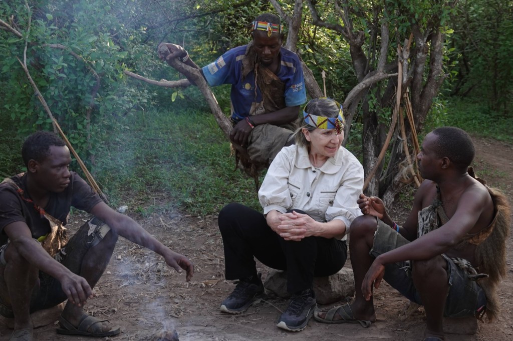
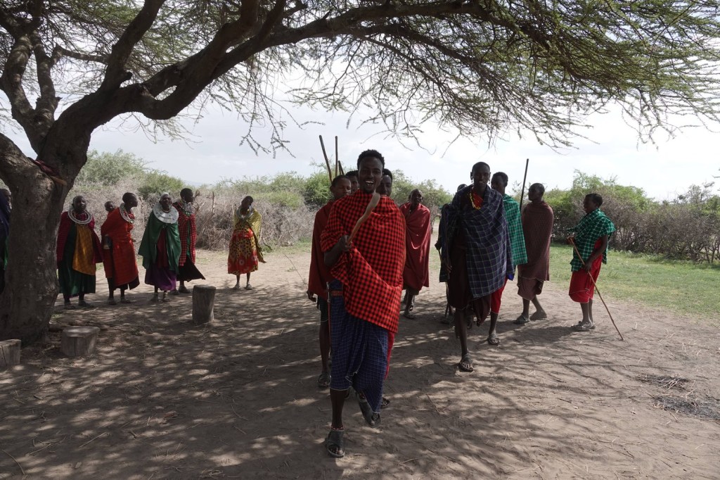
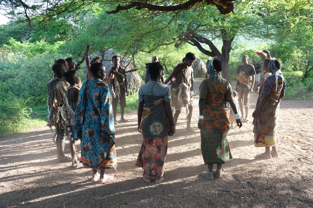
Having met the chief, we were invited to join a lively welcome dance.
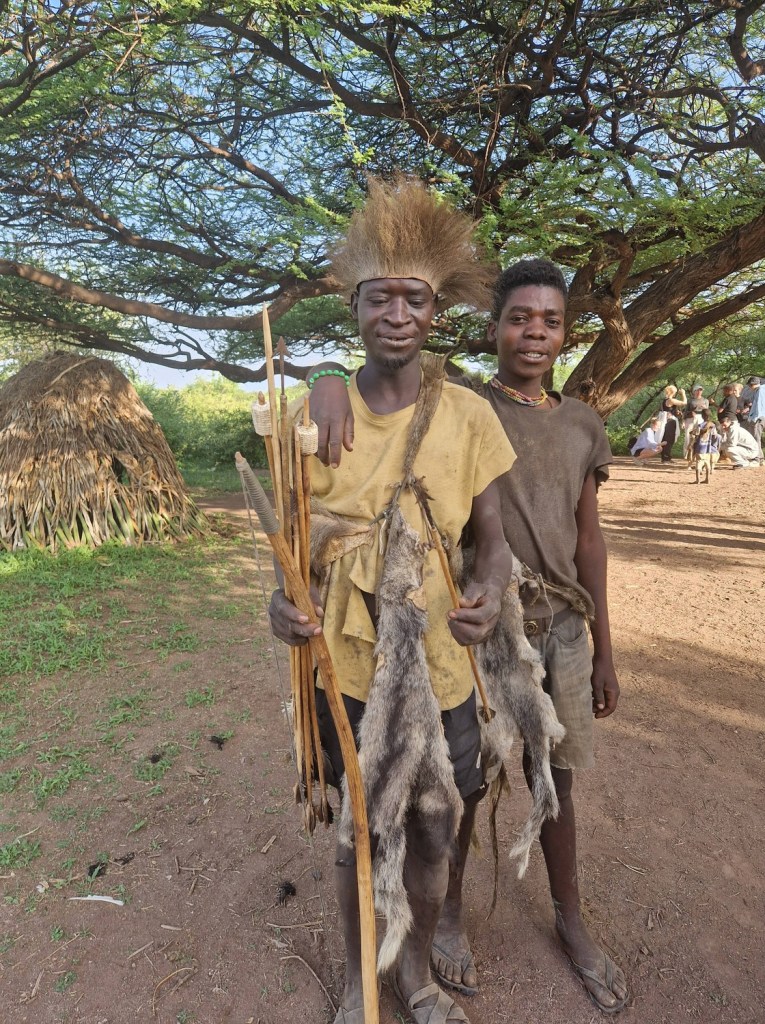
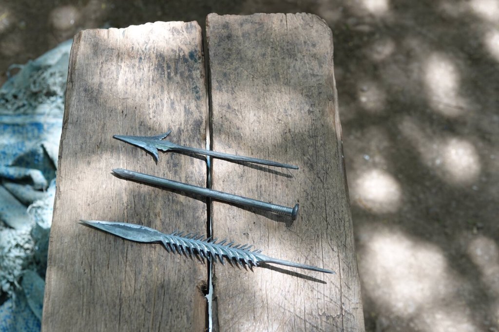
Next, one of the tribesmen gave a long and highly animated talk about how they hunt, with lots of gestures of dying animals and a demonstration of the different arrows they used for different prey. There was one for small birds, one for medium birds, one for monkeys, one for small mammals and a special poisoned arrow for bigger prey like antelope. Each type had a highly specialised arrowhead, which they obtained by trading from the nearby Datoga tribe, and we were forced to learn the Hadzabe names for each one.
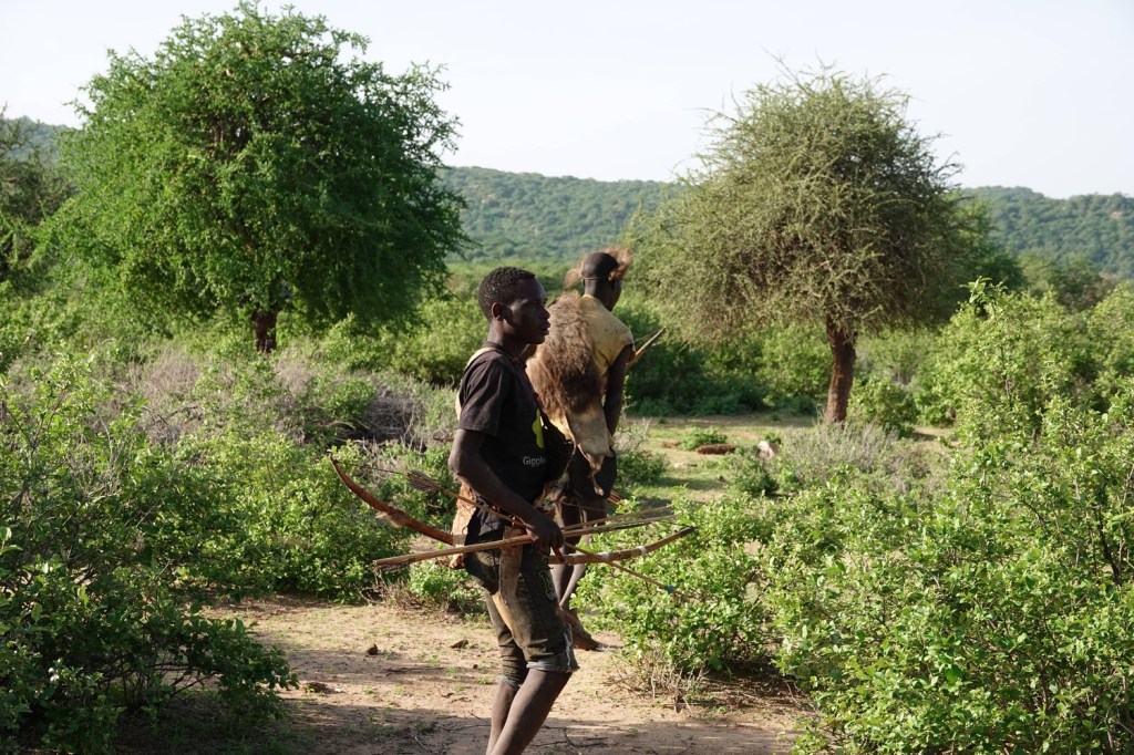
After a highly entertaining introduction to the art of hunting, we set off to follow three Hadzabe men into the bush in search of food. The party moved remarkable silently, gliding across the ground and through thick bushes with hardly a sound, bows and arrows in hand. Occasionally they would stop to shoot at a something in a tree. Their first few attempts were unsuccessful, and I was amazed at how quickly they managed to find and retrieve their spent arrows.
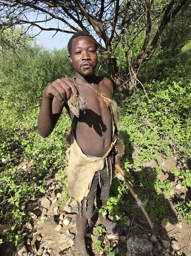
Finally one of the men managed to shoot a small bird. I wondered how such a tiny animal could provide much sustenance to a human, but the hunter was delighted and renacted the shooting for us in his language with many expansive gestures before posing for a picture.
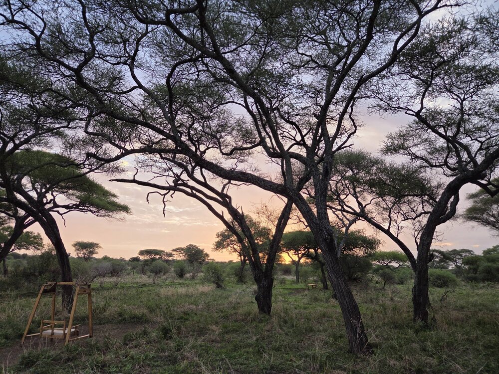
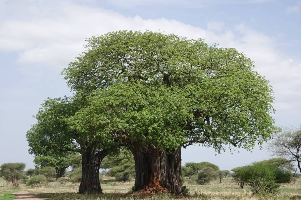
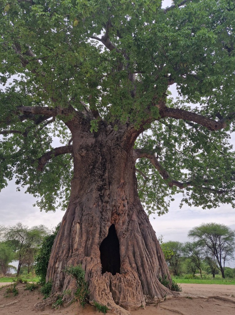
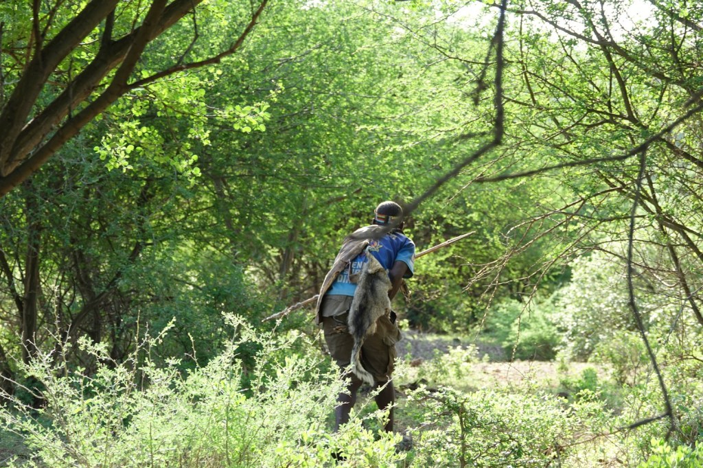
The party headed on, deeper into the bush. The vegetation became more and more thorny, especially the viciously sharp thorns on the small acacia trees that often caught in our fur, and we struggled to keep up.
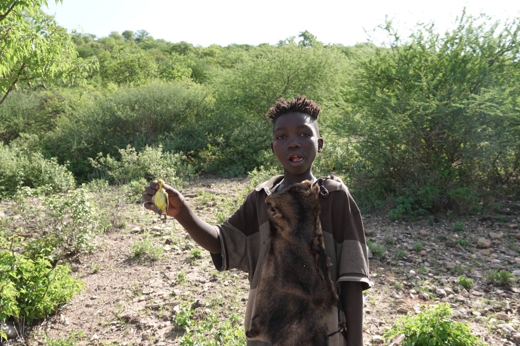
Up ahead we heard more sounds of celebration as two more small birds were shot.
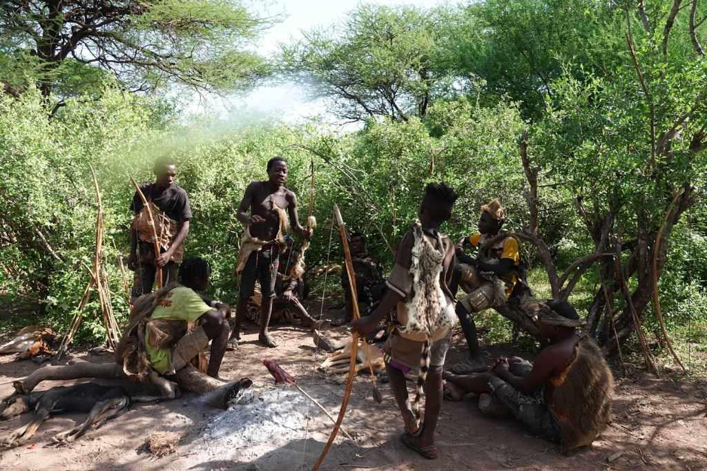
After a couple of hours, it was getting hot and the group decided to head back – the best hunting is in the morning when there is a better chance of finding larger animals. I wondered how three small birds could possibly be a good return for two hours’ work, but the hunters seemed in excellent spirits. Back at the village the mood was also upbeat – a different hunting party had caught a civet cat, and was now roasting it over the fire.
We spent a little more time with the tribe, trying archery with the men and meeting with the women, before it was time to offer our host a tip (some modern practices have been adopted by the Hadzabe!) and head off on our way.
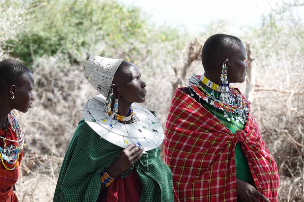
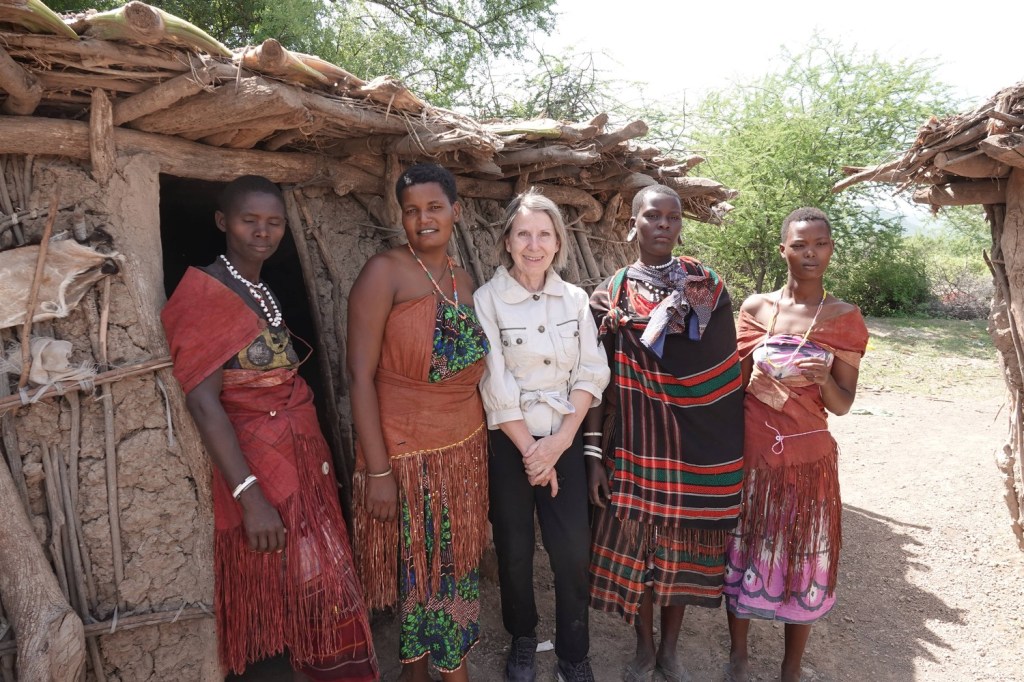
Our next destination was a different tribe – the Datoga. First we met the women of the village, and through our guide’s translation, chatted with them about village life in one of their huts.
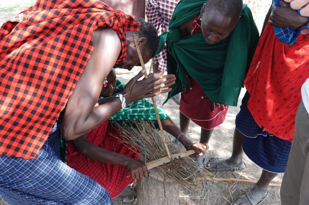
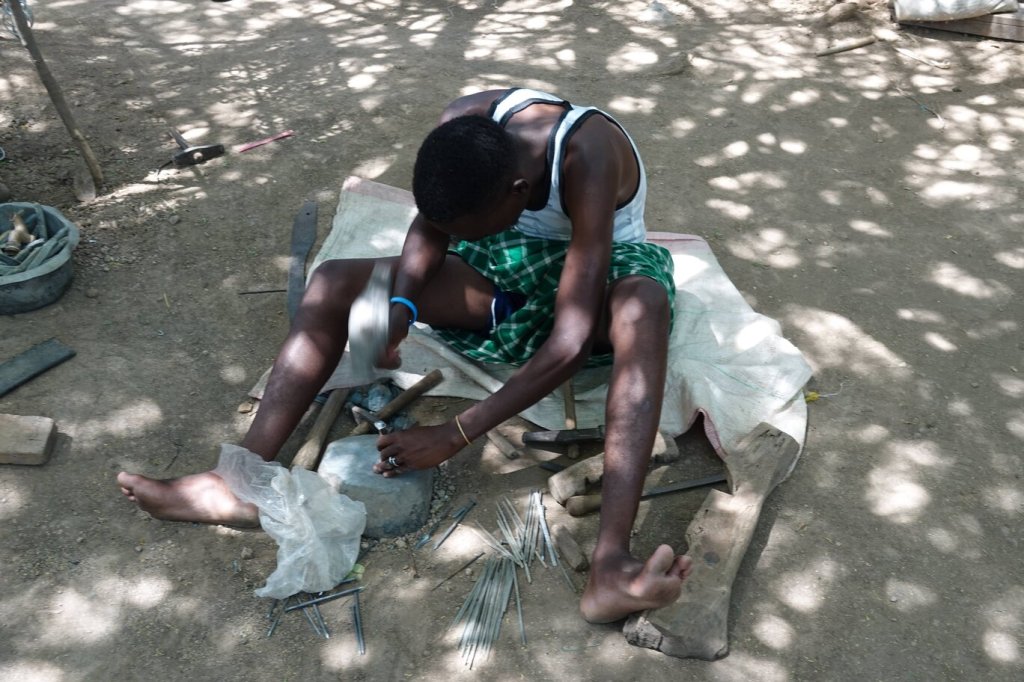
The Datoga men are known for working metal, and take scrap, like old brass taps or pipes, heat it for several days in fire to soften it, and then turn it into bracelets and other decorations.
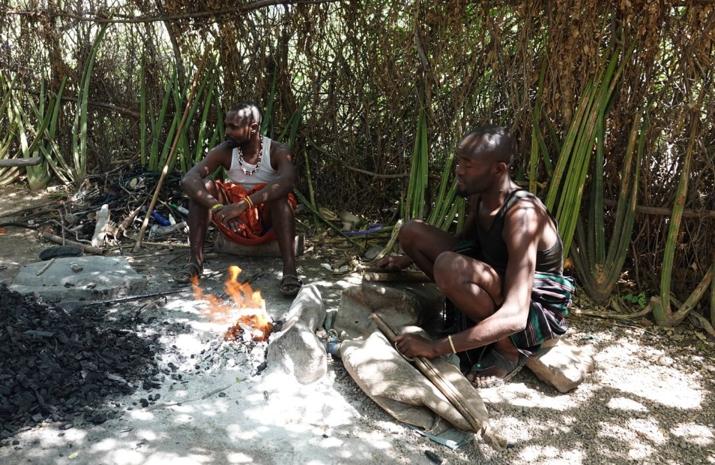
They also make all of the different shaped arrowheads for the Hadzabe by hammering old nails.
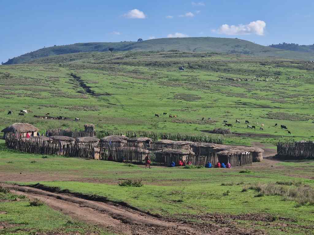
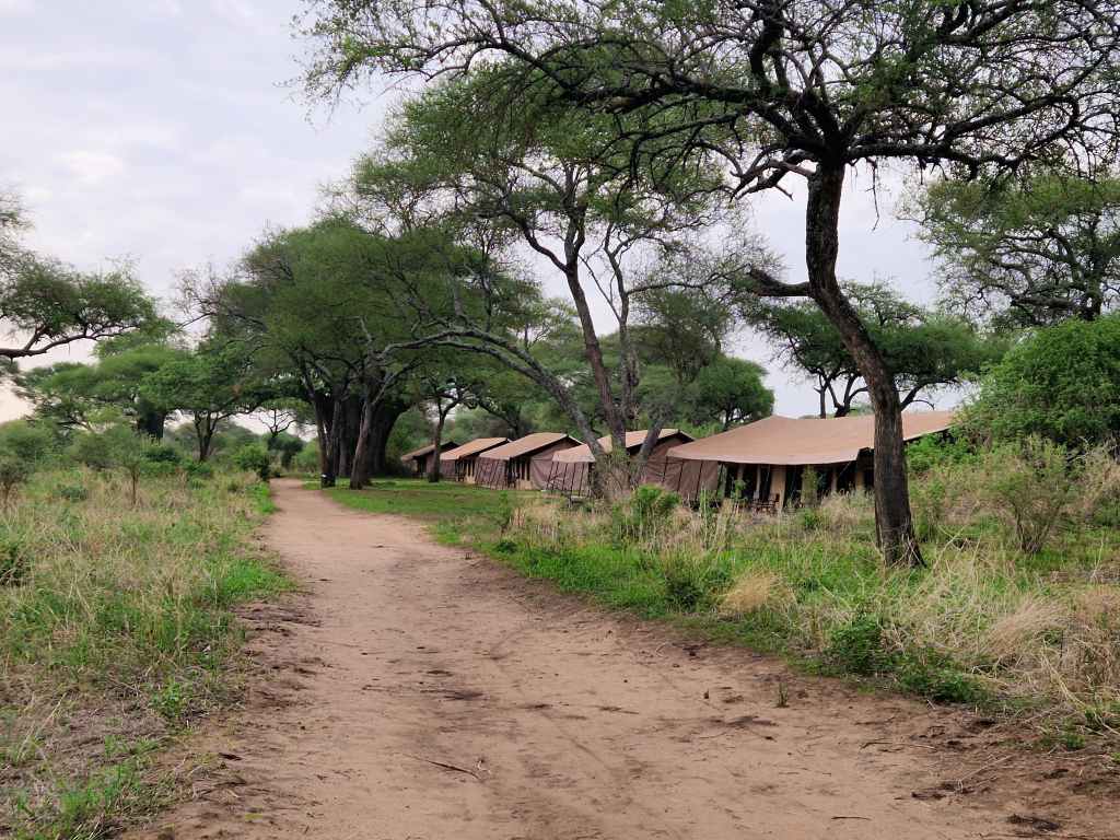
It was now late morning and time to head on to Arusha, the city we had stayed in when we first arrived, nearly two weeks ago; our exploration of Tanzania was coming to an end. We retraced our route north up the bumpy dusty track to the main road. Our visit to these two small Tanzanian tribes had represented quite a big detour for us, but it was worth it – seeing the Hadzabe in particular was a fascinating insight into how humanity must once have lived, and despite the heat and scratches from the ferocious vegetation, hunting with them was an unforgettable experience.
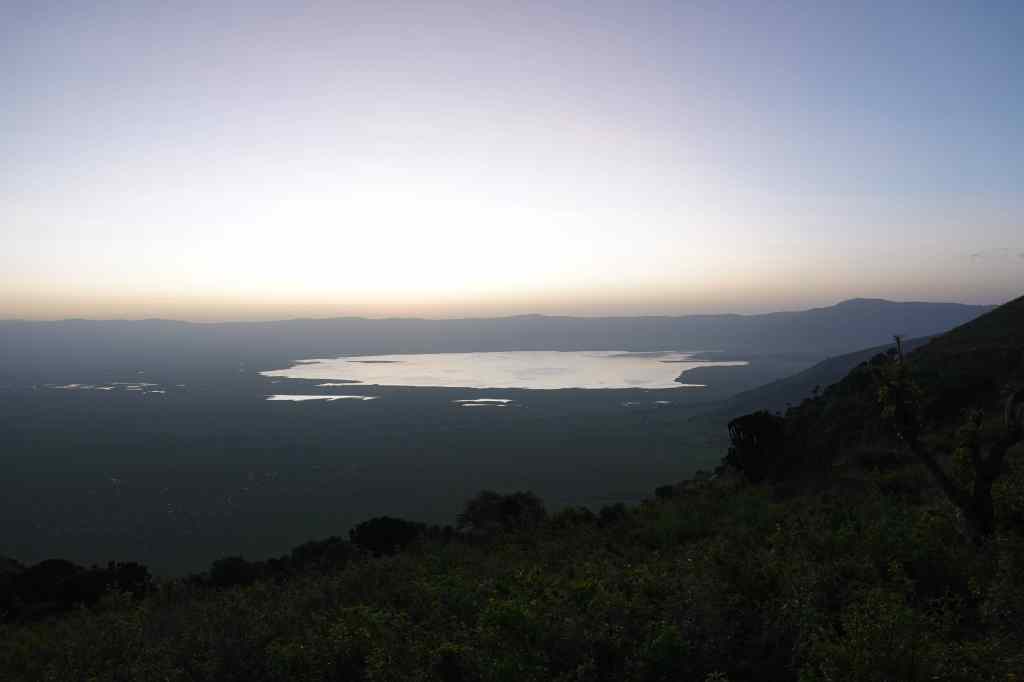
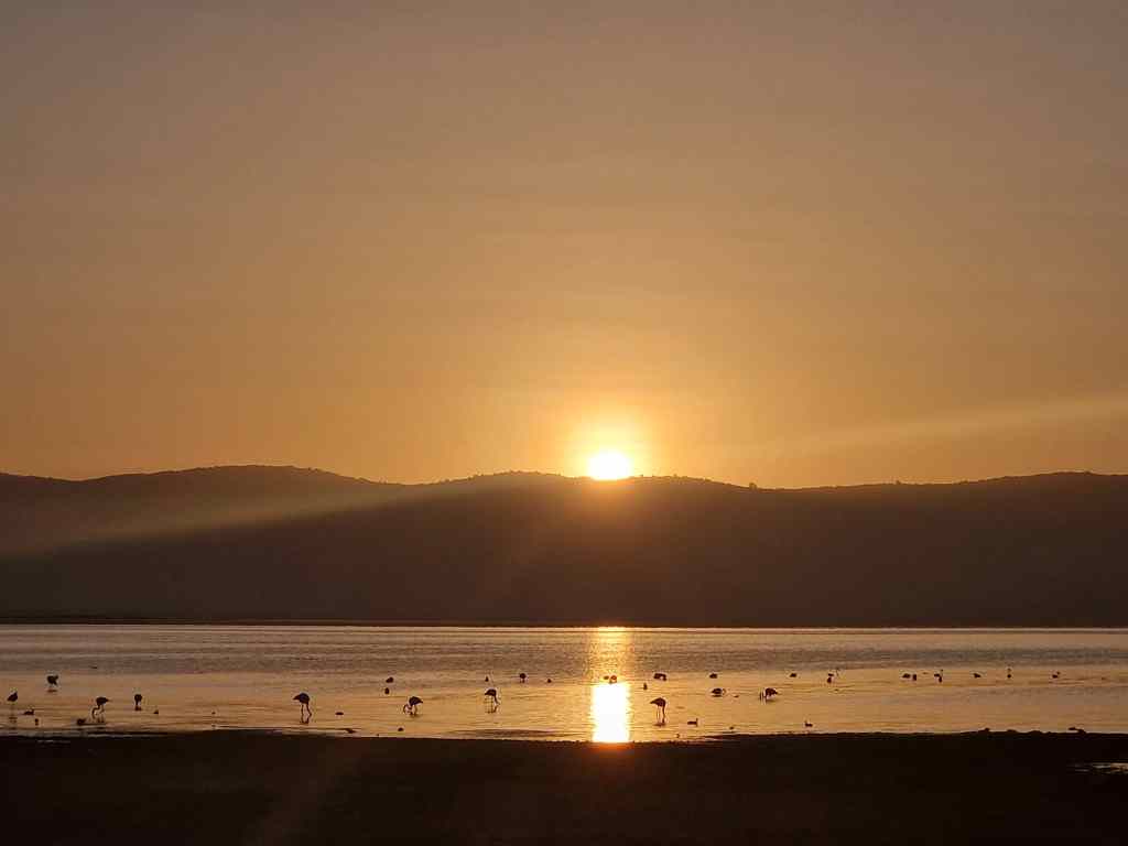
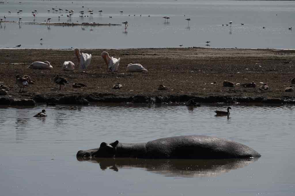
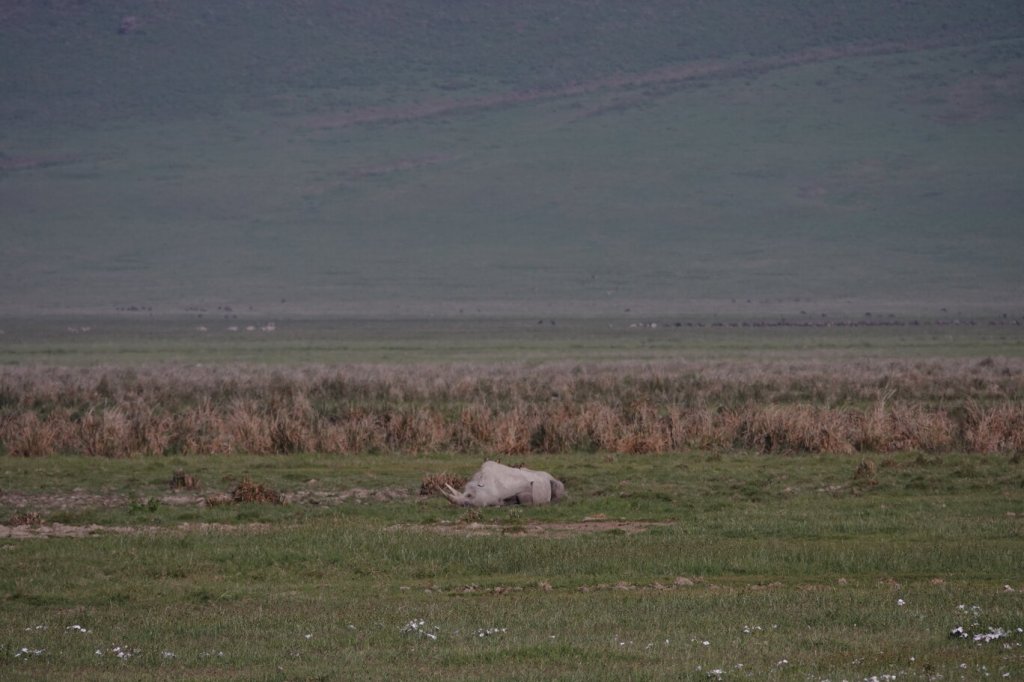
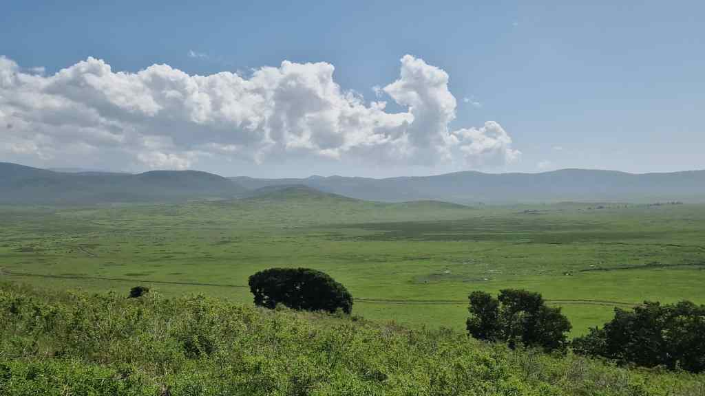
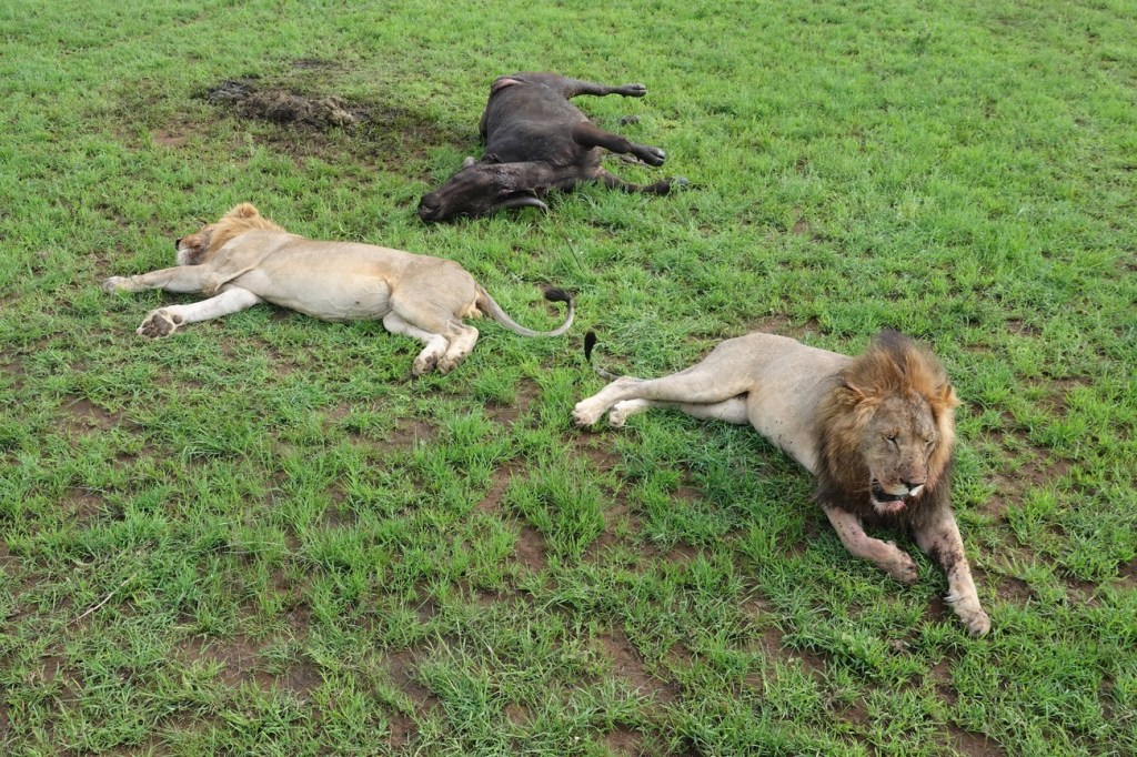
Previous Post: The Ngorongoro Crater